Internship Opportunity at Alliance for a Greener South Loop

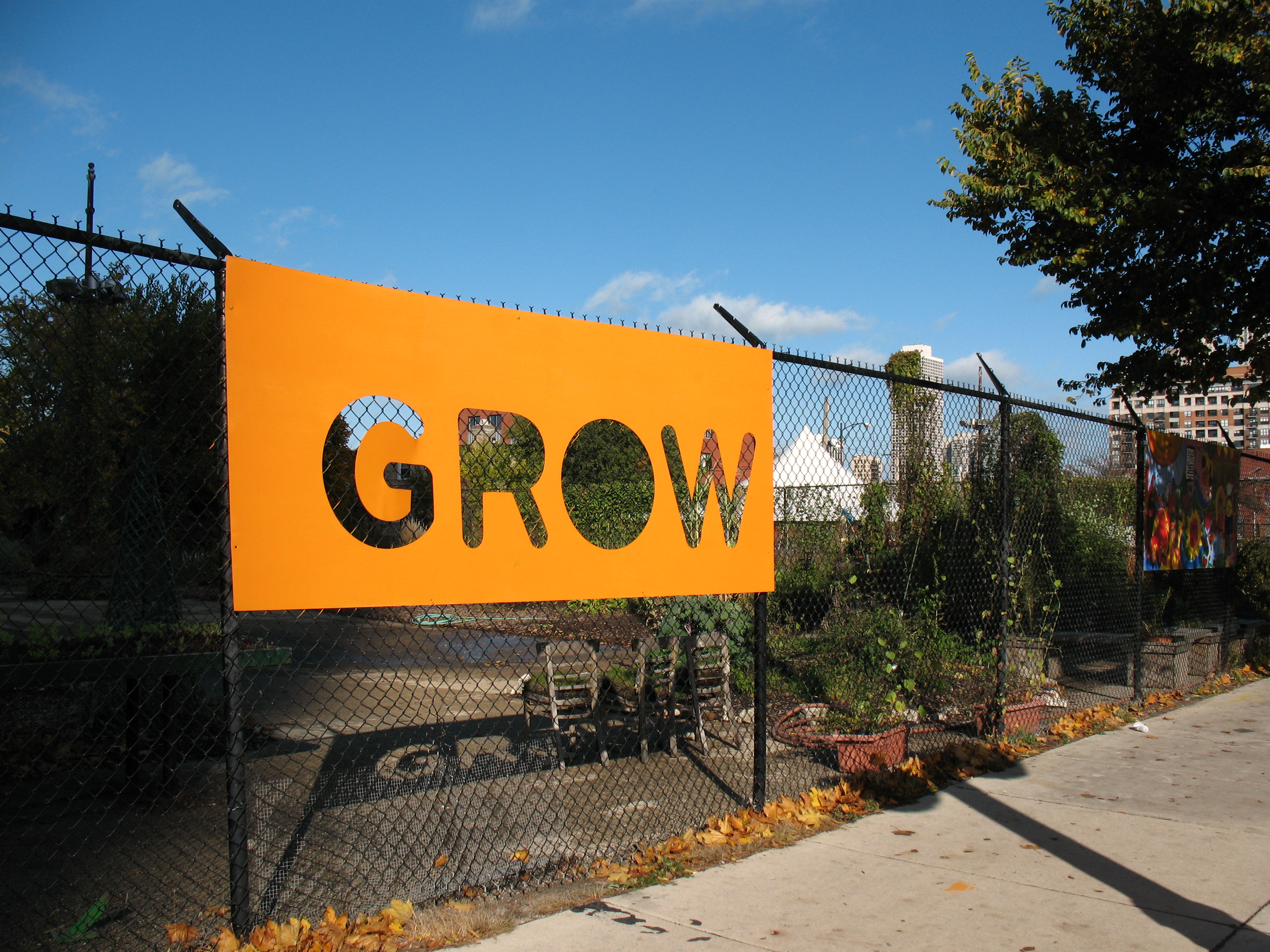
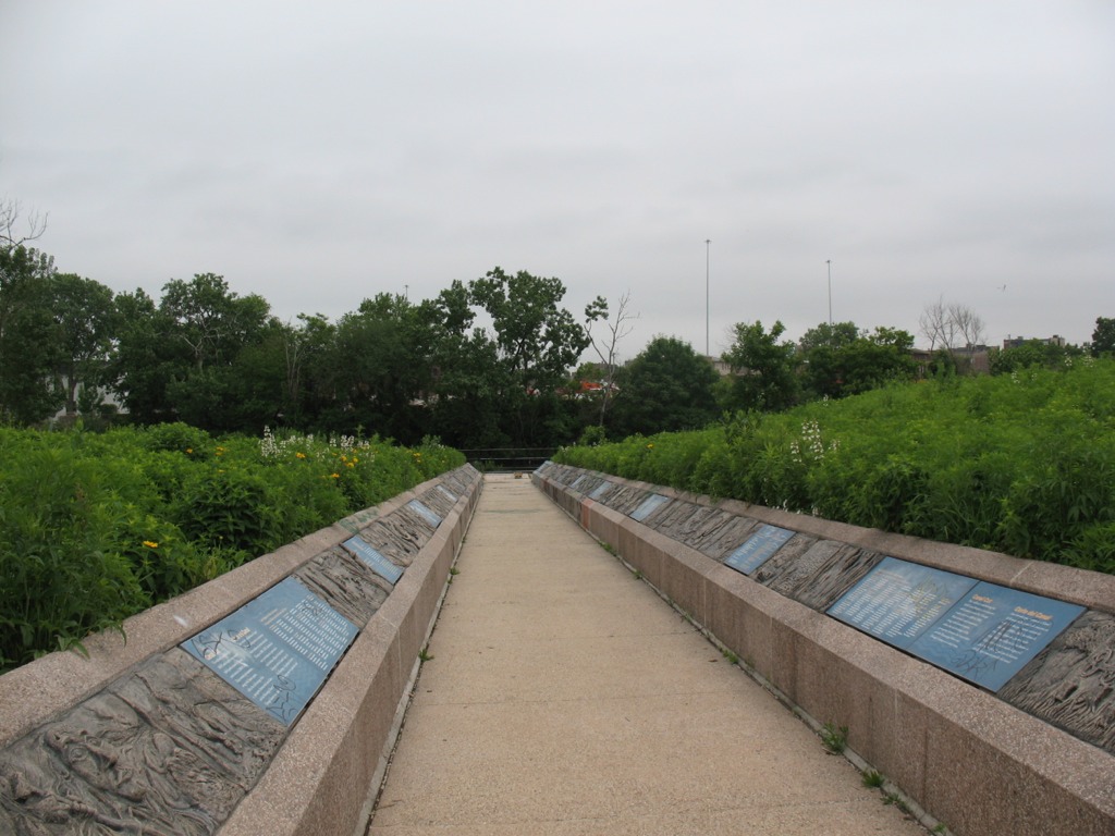
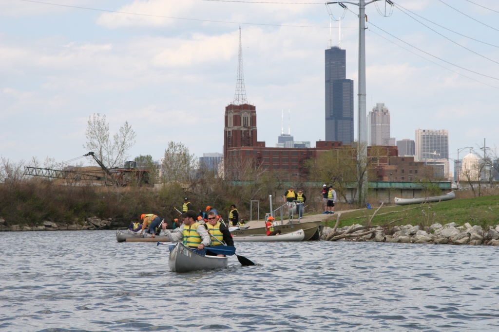
Looking for a cool sustainability-themed internship opportunity here in downtown Chicago? Want to hone your research and writing skills in a professional context, while furthering the progressive goals of a local environmental organization? The Alliance for a Greener South Loop (AGSL), an environmental advocacy non-profit dedicated to improving and encouraging green practices in the South Loop neighborhood of Chicago, is seeking an intern this winter/spring to work on the following:

  • Research/document local resources to support green efforts (e.g., buying electricity in Illinois’s open market)
  • Writing up best practices locally (business, residential, and/or institutional) using input from AGSL award applications and further research as needed
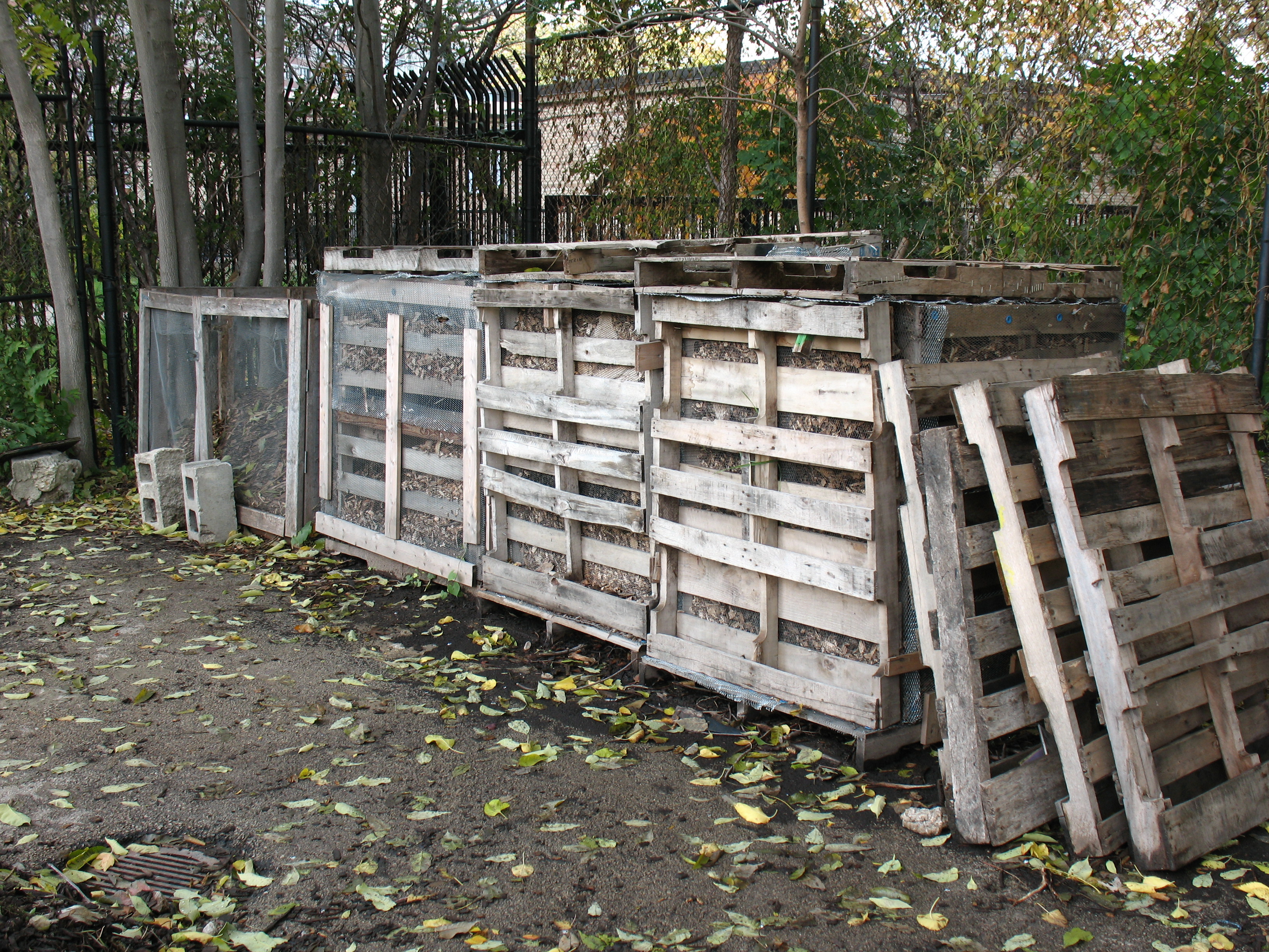
  • Answering questions received by residents, organizations, and companies about green practices such as green roof planning/installation, wind turbines, and composting
  • Generating community engagement through developing online surveys about, for example, green purchasing attitudes and patterns about paper, electricity, etc.
  • Developing ideas to support individual and collective behavioral change and creating a voice to influence local policy decisions related to sustainability

Application Deadline: 1 February 2012

Internship Requirements:

The application process for this internship is competitive, as strong writing, research, time management, and deadline-meeting skills are a must. Knowledge about current environmental issues and sustainability practices (such as those covered in RU’s SUST curriculum) is important, as well. Experience analyzing data and/or developing information for websites is desirable, though not required. Current RU undergraduates may apply; preference is given to Sustainability Studies majors. Applicants should have sophomore standing, at least one SUST course with a grade of B or better, and a minimum cumulative 3.0 GPA.

Workload / Hours / Academic Requirements:

The selected intern will be supervised by Ms. Gail Merritt of the AGSL, with academic support/direction by Professor Mike Bryson in the Sustainability Studies program. The basic work requirement is a minimum of 10 hours per week for twelve weeks (120 hours total) of on-task work at the AGSL, some of which may be completed off-site (depending upon the intern’s school/work schedule). Other requirements include submitting weekly timesheets to the on-site supervisor and faculty instructor; holding 2-3 meetings with the instructor to discuss the progress of the internship; keeping an informal weekly journal of notes and reflections summarizing that week’s work; and submitting a final research paper (7-10pp) that synthesizes reflections on the internship experience within the context of a sustainability issue(s) of particular interest to the student.

This internship is unpaid but may be taken for SUST 350 course credit (Service & Sustainability, 3sh, pre-req ENG 102). SUST majors may use this class as a major requirement, relevant elective, or general elective; non-majors may use it as elective credit. The successful applicant may register for SUST 350 as a “course by arrangement” for the Spring, Summer, or Fall 2012 semesters. Regardless, the internship would begin in early February, 2012.

Application Deadline: 1 February 2012

To apply, send an email application to Professor Mike Bryson (mbryson@roosevelt.edu) that includes the following:

  • Your name, contact information, student ID, RU major, and previously completed SUST courses (semester and grade noted)
  • Personal statement indicating your interest in the internship experience (500 words max)
  • Work availability (days/times), assuming a ten-hour/week commitment with flexible scheduling possible
  • A writing sample of two graded RU essays, with class/instructor/date noted (attached to your email as Word or PDF documents)

For More Information

Contact Mike Bryson (mbryson@roosevelt.edu; 312.281.3148 office; 815.557.3153 cell) and/or check out the Alliance for a Greener South Loop website.

Debut of the Water in Schaumburg Project

This past fall semester, students in my Sustainability Studies 220 Water seminar at Roosevelt University’s Schaumburg Campus collaborated on a semester-long research endeavor, the Water in Schaumburg Project. Small groups of students researched water resource issues related to water supply, wastewater treatment, wetlands, and the Salt Creek watershed — all within the context of the Village of Schaumburg and surrounding communities. They wrote essays, gathered images, and collected/annotated internet resources on their four key topics; and after synthesizing and editing their work, I uploaded it to the Schaumburg’s Sustainable Future website — a collaborative endeavor that originated in the spring of 2011 with my SUST 210 Sustainable Future class.

Congratulations to the members of SUST 220 for their hard work on this project! And coming up in spring 2012 — a transportation-focused project from my online SUST 210 class.

Walking through Wetlands: Conservation and Restoration in the Upper Des Plaines River Watershed

My SUST 220 Water class at RU took its third field excursion on Saturday, Oct. 29th, to the Des Plaines River Wetland Demonstration Project (DPRWDP) located in northern Lake County near the town of Wadsworth, IL. Our group took a walking tour through part of the experimental wetlands of the site, much of which is land owned by the Lake County Forest Preserve and managed by staff from Wetlands Research, Inc. The goals of our visit were to learn about wetland ecology and restoration practices, understand the mechanics and implications of wetland mitigation, and assess the water quality of the two streams that run through the wetland complex — the Des Plaines River and Mill Creek.

Des Plaines River Wetland Demonstration Project site (M. B. Radeck)

Our tour was led by Jill Kostel, senior environmental engineer with the Wetlands Initiative, and Kathy Paap, an ecologist and former site manager here at the DPRWDP. Weather-wise, this day was a glorious late October specimen; temps were mild and the wind was low, which allowed us to conduct our water sampling in maximum comfort and enjoy the exercise afforded by an autumnal hike.

We started our three-hour tour with a brief orientation to the site by Jill and Kathy near the double-wide trailer that serves as their on-site office, then got back into a few cars for a short ride to a downstream site along the Des Plaines in one of the wetland restoration parcels that is managed within the DPRWDP.

Riffle dam at DPRWDP (M. B. Radeck)

This mitigation bank site is called Neal Marsh and covers 54 acres. Here a “riffle dam” was constructed a few years to oxygenate the water and provide enhanced hydrology for the wetlands in this area.

Next we returned to the main site’s parking area, then took a mile hike down a pathway that wound through several experimental wetlands on the northern end of the restoration site. We made a few stops along the way to discuss the impact of wildlife on the wetlands (e.g., beaver), the process by which water flow is controlled through the system, the kinds of experiments one can perform in such an “outdoor laboratory,” the threat of invasive species to wetlands (e.g., common carp), the ecological benefits of wetlands to wildlife and humans, and the process of wetland mitigation.

At the mid-point of our journey, we stopped at two nearby sites to take some water samples. The first was on Mill Creek, which enters the wetland preserve from the west and carries wastewater effluent from a sewage treatment facility as well as run-off from about a 20+ square mile area.

Mill Creek (M. B. Radeck)

Then, we walked a bit further to a bridge that arched over the confluence of Mill Creek with the Des Plaines River, which flows in from the north and receives surface run-off from a mosaic of suburban development that is buffered to some extent by the riparian zone of the Lake County Forest Preserve. There we could observe the confluence as well as take water samples directly from the Des Plaines. We worked at streamside in small groups to analyze the samples using the Hach Surface Waters chemistry lab as well as the portable Urban Waters LaMotte kit. You can view a summary of our results here: Water Quality Results for DPRWDP 29 Oct 2011 (pdf).

Images of our trip were captured by Mary Beth Radeck, a SUST major at RU and member of our 220 Water class. See this slideshow for a whole lot more.

SUST 350 Course Preview for Spring 2012

This coming spring semester I will be offering the inaugural section of SUST 350 Service and Sustainability at the Chicago Campus. The specific course theme is  Urban Farming, Community Development, and Social Justice.

  • Title/number: SUST 350 Service and Sustainability (section L10)
  • Semester offered: Spring 2012 (initial offering)
  • Campus: Chicago
  • Day/time: Wed 3-5:30pm
  • Pre-req: UWR
  • Text: Lorraine Johnson, City Farmer: Adventures in Urban Food Growing (Greystone, 2010, paper, ISBN 9781554655190) — on order at the RU bookstore

SUST majors and minors may take this class to fulfill an upper-level SUST requirement, but 350 also is open to students at large who need a general education course or desire elective credit.

Introduction to the Course

SUST 350 focuses on one of sustainability’s “Three Es” — social Equity — within the broad context of Environmental stewardship and Economic development.  Students will learn about one of the most important components of sustainability — food production and consumption — in the context of urban neighborhoods and ecosystems.

Chicago Lights Urban Farm (M. Bryson)

By doing hands-in-the-dirt labor at Chicago Lights Urban Farm on the city’s near-North Side, students will gain direct knowledge of contemporary organic/urban agricultural systems as well as learn about pressing urban social justice issues such as food deserts, gentrification, pollution, environmental racism, and persistent poverty. Initial class meetings through February will be at RU’s Chicago Campus, while subsequent class meetings will take place at the farm.

Once established at the farm site in mid-March, Roosevelt students will work side-by-side with Cabrini-Green neighborhood youth in a unique reciprocal learning opportunity. Participants in the Chicago Lights Youth Corps program (14-21 age range) work as job trainees at the farm 9 hours/week during the school year and 20 hours/week during the summer.

Compost Bins at the Chicago Lights Urban Farm (M. Bryson)

They acquire skills in urban agricultural production (composting, soil management, seedbed planning, hydroponics, organic pest management, harvesting, etc.) and economy (packaging, marketing, distribution, and sales). To the extent that Roosevelt students are newcomers to these activities, they will be learning skills from the Youth Corps kids as well as from the urban farming experts.

An urban farm is about food, but so much more besides. The Cabrini-Green community is an economically stressed neighborhood that has gone through dramatic and wrenching changes as high-rise public housing has been demolished, residents have been displaced within and without the community, and gentrification proceeds at a rapid pace — even as crime and poverty persist. Here, an urban farm is a source of freshly grown, organic produce; a training ground for local youth in need of practical job skills; a stop valve in the Cradle-to-Prison pipeline; a gathering place for people of all ages in the community for physical exercise, informal education, and social events (such as the annual Fall Harvest Festival held on-site); a demonstration site for sustainable agricultural techniques; a model of economic development on a local, sustainable scale; and a means of reconnecting urban folk to the natural world. More generally, in urban areas starved for jobs, green space, safe outdoor gathering places, and fresh quality food, these small-scale farms productively and powerfully address the need for social equity and progressive change.

Partner Organizations: Chicago Lights Urban Farm and Growing Power

The Chicago Lights Urban Farm is one wing of the Chicago Lights Community Outreach Organization on Chicago’s near-North Side, and is located at 444 W. Chicago Avenue, the south end of the Cabrini-Green neighborhood.

Cabrini-Green row houses as seen from the north edge of the Chicago Lights Urban Farm (M. Bryson)

Formerly known as the Chicago Avenue Community Garden, it began in 2003 as a modest collection of raised-bed planters covering the cracked blacktop of an abandoned basketball playground. Since then, the farm has expanded and diversified its operations with the help of Growing Power, a nationally-recognized urban farm initiative based in Milwaukee that has established satellite operations in several Chicago neighborhoods (including Cabrini-Green, Altgeld Gardens, Grant Park South, and Bridgeport). The mission of the farm is to “empower . . . youth and community residents in the Cabrini-Green neighborhood to have increased economic opportunities through access to organic produce, nutritional education, and work force training” (Chicago Lights “Urban Farm”).

Field Trips in Urban Ecology

SUST 350 Service and Sustainability provides an ideal context for field-based learning experiences that connect progressive social/environmental action to sustainable community development. While the Chicago Lights Urban Farm itself is a quintessential example of such a field experience, a selection of well-planned day trips to other sites will broaden that learning experience for RU students as well as provide a rare opportunity for the farm’s Youth Corps participants to leave the confines of their home neighborhood, see other parts of the region they have little to no familiarity with, deepen their understanding of urban ecology, and personally connect with the varied and surprisingly engaging forms of the region’s urban nature. In this expression of reciprocal learning, RU undergrads and Youth Corps students will be learning together in the context of adventurous new experiences, a process necessitating team-work and producing a profound sense of personal accomplishment.

Planned field trips tentatively include a tour of urban farms sites in Chicago, the Growing Power flagship farm in Milwaukee, the South Branch of the Chicago River, and/or the Indiana Dunes. See this page for accounts of recent student field trips in my SUST courses.

Paddling the Chicago River’s North Branch

The Chicago River is a once-natural waterway humans have thoroughly transformed. Dredged, straightened, polluted, and famous for having its flow reversed at the turn of the last century, the river is nevertheless a complex ecological system that fulfills an amazing array of economic, social, and environmental functions — from transportation conduit to wastewater repository to recreational resource to wildlife corridor. It’s also an excellent place to observe the visually arresting urban landscape and its compelling blending of nature and the built environment.

Wolf Point, the Chicago River in downtown Chicago (M. Bryson)

Such a vantage point affords a unique perspective on the ways in which we use and abuse water, and suggests that we need science, policy, and active citizen engagement to forge a more sustainable future for this much-maligned yet storied river.

On Saturday, October 11th, students in my SUST 220 Water and PLS 391 Seminar in Natural Science classes at Roosevelt University took a canoe trip with me on the North Branch of the River, from Goose Island on the near-North Side of the city to Wolf Point in the heart of Chicago’s Loop — the place where the North Branch meets the South Branch, and ground zero in the history of Chicago’s development from a frontier town to a world metropolis. Our trip was led by expert river guides with the Friends of the Chicago River organization, which has long advocated for the conservation of the river and helped raise its public profile since the late 1970s.

Launching canoes at the North Avenue Turning Basin (M. Bryson)

This was the fourth such trip I’ve taken with my RU students since the spring of 2009, the previous three trips taking place on Bubbly Creek, a notoriously-polluted tributary of the South Branch that for many decades absorbed the waste from the Chicago Stockyards. These field experiences give us a chance to explore urban nature first-hand and think about

  • how water moves through those ecosystems and sustains their biotic communities;
  • what kinds of pressures urban or suburban development exert upon these ecosystems;
  • the impact of such pressures on water quality, flooding, etc.;
  • conservation and/or restoration strategies that can improve the quality and sustainability of these aquatic ecosystems;
  • the significance of water quality to the overall sustainability of urban systems, both in terms of nature and people.

Our trip began at a canoe/kayak launch site at the turning basin at North Avenue, the widest spot along the entire Chicago river system. We proceeded down the North Branch, which runs along the west bank of Goose Island — itself a fascinating place in Chicago’s geographic and cultural history that was made an island when industrialist (and later Chicago’s first mayor) William Ogden had a canal dug to the east to excavate clay for brickmaking and to increase the area’s industrial waterfrontage.

A barge near the Morton Salt Company distribution facility, one of the many industries on the North Branch (M. Bryson)

Once home to Irish immigrants who kept geese and other livestock on their property, Goose Island has seen successive waves of industry and residential development over the decades; in this sense, it is a microcosm of Chicago’s own dynamic development as an industrial city. Since the late 1990s and early 2000s, it has become a thriving Planned Manufacturing District.

As we paddled southward toward Chicago’s Loop and passed the southern tip of goose Island, we learned to keep well to the right of the river channel to avoid the many tour boats and private craft that ply these waters. The presence of many diverse watercraft on the river testifies to its importance as a cultural and recreational amenity as well as tourist attraction — all of which have positive economic impacts for the city. The water here offers stunning views of bridges, factories, residential developments, and other waterfront properties — such as the massive Montgomery Ward catalog warehouse built in 1908 — which together constitute a colorful tapestry of the urban landscape.

The 2.3 million-square-foot Montgomery Ward warehouse (M. Bryson)

The presence of urban wildlife in the river corridor, including numerous Canadian geese and Mallard duck sightings as well as evidence of beaver activity, highlight the river’s identity as a living ecosystem and value as wildlife habitat. This green face of the river was particularly evident in the North Branch Canal (east of Goose Island), through which we paddled on our way back from Wolf Point.

Those ecological musings are complicated by consideration of the many Combined Sewage Outfalls (CSOs) that exist along the riverbank, outlets that frequently release untreated sewage directly into the river in times when precipitation exceeds a certain threshold (about a half-inch, depending upon size of the area experiencing rainfall). These outfalls are not confined to industrial sections of the river; 265 of them occur all along the length of the Chicago Area Waterway System (CAWS),

Combined Sewage Outfall on the Chicago River, in the Loop (M. Bryson)

including this industrial yet scenic stretch of the North Branch and at the confluences of the North and South Branches in the Loop. Paddling near such an outflow is a disquieting and disturbing experience, as it brings one face-to-face with the question, “where does our waste go when we flush our toilets?” The answer: right here, quite often.

Indeed, the fecal coliform test we performed later at our canoe launch site confirmed the presence of (though did not quantify) coliform bacteria colonies in the water, which are indicators of fecal coliform — despite the fact that it had not rained in several days prior to our trip. Students also performed a variety of other water quality tests for physical and chemical variables such as temperature, turbidity (cloudiness), pH, hardness, dissolved oxygen, nitrate, phosphate, and chlorine. (You can view a summary of our results here as a pdf.)

Such a profile gives us a snapshot of the water quality at a given moment in time. In this case, overall quality was deemed fair to decent by such measures as temperature, pH, and dissolved oxygen; but elevated nitrate and phosphate levels (nutrients that result from industrial and urban pollution that can cause algal blooms and subsequent oxygen depletion) as well as the water’s fairly turbid nature and the definitive presence of coliform bacteria show there is much room for improvement. Had it rained that day or the previous day, many of these chemical indicators would’ve been measurably worse. Fortunately, the Metropolitan Water Reclamation District (MWRD) has recently moved to begin planning a final stage of disinfection for treated wastewater at two of its treatment plants, a move that will certainly lessen the chronic bacterial contamination of the water.

Heading south into downtown Chicago on the river; Wolf Point and the skyline (M. Bryson)

Paddling a polluted urban waterway is decidedly much different than journeying along a pristine stream in an uninhabited wilderness. But it may be an unparalleled way to way to experience a city’s landscape and to contemplate the complex processes of urban ecology represented by the movement of water with that landscape.

Exploring Salt Creek and Busse Lake

Every semester I take my Roosevelt University undergraduate students on field trips — hands-on learning experiences that allow us to put some of the academic ideas we’ve studied into practice, work together in teams, and create a sense of community. That’s especially important in online classes, where virtual interaction is intense and sustained, but face to face action is rare or nonexistent.

This fall at RU’s Schaumburg Campus, my Sustainability Studies 220 Water course’s hybrid format (a combination of occasional Saturday sessions plus weekly online interaction) is ideal for scheduling field trips to likely sites of interest. Normally I would wait until one-third of the way through the semester before venturing on a trip with a group of students — but since SUST 220 had a long Saturday campus session to kick off the semester and early September is usually a good time to be outside in the Chicago area, we decided to get right to it.

Busse Woods (M. Bryson)

So after two hours of morning lecture and discussion on September 10th and meeting each other for the first time, my students and I enjoyed a picnic lunch in the campus courtyard and then headed over to Busse Woods, one of the largest holdings within the Cook County Forest Preserve system (at 3,700 acres), for field-based introduction to water quality sampling techniques.

Busse Woods, aka the Ned Brown Forest Preserve, is a massive and multi-functional piece of green infrastructure in the northwest suburban region, a culturally significant recreation site for the many communities it serves, and a fascinatingly complex mosaic of northern Illinois ecosystems — riverine, woodland, wetland, and prairie. The preserve directly borders the suburbs of Rolling Meadows, Arlington Heights, Elk Grove Village, and Schaumburg; but within a short drive or even bike ride are numerous other communities, including Palatine, Prospect Heights, Mount Prospect, Des Plaines, Wood Dale, Itasca, Roselle, Hoffman Estates, and Inverness. People in these suburbs and beyond converge on Busse Woods year-round to boat, bike, hike, rollerblade, picnic, fly model airplanes, visit the elk herd (yes, elk!), and more, making it one of the most-heavily used forest preserve units in Cook County. Fortunately, the preserve’s sheer size and diverse offerings of groves, parking areas, meadows, and trails enable it to accommodate all this activity and still provide much needed open space for the region and the chance of someone to roam within an extensive natural area. The Cook County Forest Preserve and the Friends of Busse Woods actively work on conservation and restoration projects in the preserve.

Just to the southeast is O’Hare Airport, which at approximately the same size as the preserve represents a completely different way of using land — the concrete and asphalt “hardscape” of O’Hare strongly contrasts with the verdant landscape of Busse Woods. Besides recreational opportunities and open space for its human visitors, Busse harbors a significant amount of regional biodiversity:

Busse Forest Nature Preserve Topo Map (USGS)

the 440-acre Busse Forest Nature Preserve, located in the northeast section of the Forest Preserve unit, is not only a state-designed nature preserve (the third one so dedicated, in 1965) but also a National Natural Landmark. This protected area harbors bottomland flatwoods, extensive wetlands, and upland forest, some of which are in the process of restoration.

Salt Creek, looking south from the northern edge of Busse Woods Forest Preserve (M. Bryson)

Busse Woods is home to a couple of significant water features including Salt Creek, which was the first stop on our trip. After hiking through a forest-and-wetland path along the northern border of the woods, we came to the Golf Road overpass of Salt Creek, where the river south into the preserve before it empties into Busse Lake, a sprawling artificial reservoir created by a dam structure at the south end of the preserve. Using a couple of different water quality field testing kits, we sampled the creek and measured a range of physical/chemical water quality indicators: chlorine, copper, dissolved oxygen, hardness, iron, nitrate, pH (acidity), phosphate, temperature, turbidity, and total coliform bacteria. In doing so, we not only took the ecological pulse of Salt Creek at one point in time, we also learned how to use our sampling equipment, compared test results from different measurement procedures, assessed the possible sources of error in our data collection, and analyzed the impact of the surrounding landscape upon the water quality of Salt Creek.

You can see our tabulated results here: Water Quality Data and Results for Salt Creek and Busse Lake 10 Sept 2011 (pdf).

The entire Busse Woods preserve is a significant green space within the Salt Creek Upper Watershed, as it receives stormwater run-off from the eastern half of Schaumburg via the main channel of Salt Creek as well as the Creek’s West Branch. That tributary is important for another reason, as it flows through the heart of Schaumburg before passing around the periphery of the John Egan Wastewater Treatment plant of the Metropolitan Water Reclamation District.

Satellite view of Schaumburg's east side, showing the West Branch of Salt Creek and the John Egan Treatment Plant (lower right)
Satellite view of Schaumburg's east side, showing the West Branch of Salt Creek and the John Egan Treatment Plant at lower right (Google Earth)

The Egan plant’s treated effluent is piped into the West Branch, which then flows east under I-290 to empty into the South Pool of Busse Reservoir. Partly for that reason, we chose to sample water from the shoreline of the South Pool as our second sampling site of the day. (Interestingly, the data from that site were quite comparable to those we gathered much farther north at Salt Creek.)

In this sense, then, Busse Lake is a giant detention pond for stormwater run-off from several suburban communities (either directly or via Salt Creek) and treated wastewater from Schaumburg. As such, it is a flood control structure for Salt Creek, which runs south/southeast out of the preserve and drains several western suburban communities before joining the Des Plaines River near Brookfield.

The south pool of Busse Lake (M. Bryson)

Effective water retention in Busse Lake means reduced flooding in downstream communities, though the persistence of flooding in the western suburbs means the reservoir as currently configured is only a partial solution. Nevertheless, the larger forest preserve complex of wetlands, prairies, and woodlands — of which the lake is but a part — act like a giant sponge for the surrounding towns and villages, absorbing precipitation and run-off from a wide area and releasing it slowly to the atmosphere and to Salt Creek.

Map of Salt Creek's watershed (Salt Creek Watershed Network)

In short, Busse Woods are a vital component of the hydro-ecology of the Upper Salt Creek Watershed. In turn, as a stream that winds through a score of suburban communities and which is a major tributary of the Des Plaines River, Salt Creek is a waterway that displays the impacts of urbanization on natural systems, even as it provides vital green space for half a million citizens in the Chicago area. It’s also an ideal ecosystem in which to explore and assess the need for sustainable water management as a means of improving the quality of our region’s surface waters and minimizing the risk of pollution and flooding within the watershed.

An Urban Nature Adventure

This past Saturday, June 11th, students in my PLS 392 Seminar in Humanities online summer course at Roosevelt University took an “urban landscapes” field trip to Chicago’s near Southwest Side, where we visited two city parklands: Canal Origins Park on South Ashland Avenue, and Stearns Quarry (aka Palmisano) Park on Halsted Street. This afternoon field trip was a chance for us to discuss the history and ecology of these locations and their relation to Chicago’s urban landscape, as well as think about the visual aesthetics of these areas, the integration of nature and culture in urban environments, the importance of parks to city communities, and how such areas can serve as windows into the rich history of Chicago.

PLS 392 students help clean up Canal Origins Park before our walking tour of this urban parkland along the Chicago River, June 2011 (photo by M. Bryson)

We began our afternoon by meeting at Canal Origins and, before starting our walking tour of this 2002 riverfront parkland, picking up several bags’ worth of litter along Ashland Avenue near the park’s entrance. (Thanks to my students for pitching in like troopers!) Canal Origins provides impressive views of the present-day juncture of the Chicago River’s South Branch and Bubbly Creek, and commemorates the origin of the I&M Canal, which was constructed from 1836 to 1848. Use of the canal peaked in 1882 (when over a million tons of cargo were transported), but construction of Sanitary & Ship Canal in the late 19th century spelled the eventual demise of the I&M, as did the advent of railroad transport in the latter third of the 1800s.

The old canal, though, has made a comeback the during the last 30 years though the establishment of the I&M Canal Heritage Corridor by Congress in 1984 by Congress, which celebrates and promotes the Canal as natural resource, wildlife corridor, recreation destination, and source of cultural memory and historical preservation. Here at this area of Chicago, the canal is filled in and is covered by Interstate 55. Visitors to the park can see it only in their imaginations.

This walkway from the entrance of Canal Origins Park leading to the river symbolizes the canal’s walls, and features artwork by Chicago high school students. Unfortunately, now the displays are heavily tagged with graffiti (photo by M. Bryson)

To the west, the South Branch soon morphs into the Sanitary and Ship Canal, begun in 1892 and completed in 1900. This canal marked the permanent reversal of the Chicago River for improved sanitation (via dilution) and navigation, and continues to be used heavily to this day for commercial transportation. North of the S&S Canal is the filled-in waterway formerly known as the West Fork of the South Branch, which flowed southwestward until it ended at the Continental Divide separating the two watersheds that meet here in the Chicago region (those of the Mississippi River and the Great Lakes). Here was located Mud Lake, between Kedzie (to the east) and Harlem (to the west), which earlier voyageurs could paddle across in wet years to travel between the Chicago and Des Plaines Rivers. The Chicago Portage National Historic Site is at Harlem Avenue, north of the canal, and it commemorates the history of the portage made via Mud Lake. The Stickney Wastewater Treatment plant, the world’s largest, now sits where the fickle waters of Mud Lake once were.

After touring Canal Origins Park, we walked a few blocks south to the Ashland stop of the CTA Orange Line, where suburban students enjoyed the novelty of an L ride one stop to the north to Halsted Street, where we disembarked and walked a couple of blocks south to Stearns Quarry Park.

RU students walk the trails at Stearns Quarry Park in Chicago’s Bridgeport neighborhood, June 2011 (photo by M. Bryson)

This extraordinary urban greenspace finished in 2009 is a cutting-edge example of city park design with nature in mind. Its meandering walking trails provide a different kind of view as one walks along, from the terraced wetlands that filter water circulated between the park’s fishing pond to its entrance fountain; to the old walls of the limestone quarry, which operated here from the late 1830s to 1970, when the site became a landfill; to the neighboring churches and houses of the Bridgeport neighborhood; to the dramatic scene of the Loop’s skyline, as viewed from the grassy-topped mound of the park. Throughout the park, native vegetation provides natural beauty, efficient water retention, and ample wildlife habitat — and many other sustainable design features make this truly a 21st century parkland.

A view of the terraced wetlands in Stearns Quarry (photo by M. Bryson)
A closer view of the one of the wetland’s terraces; red-winged blackbirds and barn swallows were in abundance here (photo by M. Bryson)
A view of the stocked fishing pond at the bottom of the quarry, as well as the its limestone walls — a most unusual sight within the city of Chicago (photo by M. Bryson)

Those seeking an off-the-beaten-path Chicago experience should consider visiting Stearns Quarry Park, which is easily accessible via the CTA (Orange Line and #8 bus) as well as car, with free street parking available next to the park. An excellent audio tour is provided by the Chicago Park District, as well.

The mound at Stearns Quarry Park affords impressive views of Chicago’s downtown skyline, only a few miles to the northeast (photo by M. Bryson)

SUST 220 Water — Fall Preview

This coming fall semester, SUST 220 Water will be offered for the first time at RU’s Schaumburg Campus. The 12-week course will run in a unique “hybrid” format combining four Saturday meetings (from 10am to 4pm) with online interaction via the course Blackboard site during the intervening weeks. This weekend/hybrid schedule not only makes the course accessible to students in the suburbs as well as the city, it provides us with the opportunity to pursue some interesting water-focused field trips to instructive sites in the region, such as the Chicago River (which just received this good news about its future water quality) and the Des Plaines River Wetland Demonstration Project (just to mention a couple of places I have taken past classes).

RU students & faculty canoe the Chicago River, May 2009 (photo by B. Hunt)

Course Profile / Registration Info

  • SUST 220 Water, section L30 (Schaumburg Campus) / Fall 2011
  • Meeting dates: Sept 10th, Oct 8th, Oct 29th, and Dec 3rd
  • Pre-req: English 101
  • Online interaction required through RU Online / Blackboard
  • Taught by: Professor Mike Bryson (mbryson@roosevelt.edu / 847.619.8735)

These books are on order at the RU bookstore:

Recommended but not required is an excellent text I used last year in the augural section of SUST 220 — The Atlas of Water, by Maggie Black and Jannet King (Univ of CA Press, 2nd ed., 2009).

If you are interested in enrolling in SUST 220 this coming fall, please contact your academic advisor, and feel free to get in touch with me if you want to learn more about the course. Enrollment is limited, so plenty of personal attention from yours truly is guaranteed. And if you’ve never tried an online course before, taking a hybrid course such as this is a great way to “test the waters,” since students will have ample opportunity to interact with me and each other face-to-face, as well as get help/support with the online component if need be.

Wetlands Research Inc. ecologist Jill Kostel talks about the restoration work underway at the Des Plaines River Wetland Project, April 2009 (photo by M. Bryson)

Like to know more? Below is a preview of the kinds of topics we’ll investigate in SUST 220.

Water, the Stuff of Life

Without water there is no life. Without clean water, human and animal life is vulnerable to catastrophic disease. How, despite population growth and industrial production, can we ensure clean supplies of water for humans and wildlife? This course evaluates water quality and water sustainability issues through the analysis of local, regional, and global issues and case studies.

Consider, for example, the connections between local and regional water issues here in the Chicago area. Chicagoans have the luxury of living on the shores of the world’s greatest repository of fresh surface water, the Great Lakes, a position we regrettably abuse by withdrawing several hundred million gallons of Lake Michigan water every day simply to flush our sewage downstream to Peoria and all points south. By contrast, most communities in northeastern Illinois that lie outside the Great Lakes basin draw their water from surface streams or underground aquifers, sources that are vulnerable to over-use and pollution. According to the 2009 report “Before the Wells Run Dry” by the Chicago-based Metropolitan Planning Council and Openlands, the long-term sustainability of fresh water in Illinois requires much better conservation of these finite resources and improved long-term water supply planning.

: : For more information on local water issues, as well as sustainability events and issues within the Chicago region, be sure to check out the Sustainability Studies @ Roosevelt University Blog, which just reported on a landmark vote on June 7, 2011, by the Metropolitan Water Reclamation District to start disinfecting wastewater returned to the Chicago River.

Canoeing highly polluted Bubbly Creek, aka the South Fork of the Chicago River's South Branch (photo by L. Bryson)

A global perspective on water availability reveals far more disturbing realities. The earth is a planet defined by an abundance of water, of which almost 98 percent is salty or brackish. Just over two percent is fresh, and more than two-thirds of that water is locked up in ice sheets, glaciers, and permafrost. Thus, only a tiny fraction of the earth’s water is available to us for drinking, bathing, flushing toilets, growing crops, etc. That finite resource is imperiled by the unsustainable trends of pollution, overuse, waste, and lack of access. In developing countries, about 90 percent of sewage is dumped into rivers without any treatment. Worldwide, polluted rivers transport toxins and excess nutrients to coastal areas, where biological “dead zones” result; from 1995 to 2007, the number of such oceanic dead zones increased by 30 percent. Depending where you look, overconsumption or scarcity is the defining problem. Citizens of the US accustomed to readily available freshwater consume about 100 gallons day per household, on average; while globally, nearly two billion people lack ready access to clean water.

Key concepts and themes addressed in SUST 220 include the science and policy of ensuring a safe water supply; water conservation strategies, particularly in urban areas; wastewater treatment and  watershed management; and wetlands ecology, restoration, and management. Students will develop a thorough understanding of the water cycle and its relation to the sustainability of water systems; understand and assess the importance of water as an environmental as well as cultural resource; learn to define, measure, and sample water quality in a variety of contexts using simple yet effective field-based water chemistry sampling techniques; and evaluate contemporary water management and policy issues, particularly those affecting the waterways of the Chicago region as well as the Great Lakes ecosystem.

Studying Biodiversity at the Field Museum

This past spring, the Sustainability Studies program offered its inaugural section of SUST 330 Biodiversity as a hands-on learning and research experience at the famed Field Museum of Natural History in Chicago. One of the students in the class, Amanda Zeigler, offers these reflections on her experiences here:

SUST major Amanda Zeigler working at the Field Museum of Natural History

As a Sustainability Studies major, every course I have taken in the program has been meaningful and rewarding, but none has matched the experiential aspect of SUST 330, better known as Biodiversity. This class met once a week at the Field Museum, and was taught by Julian Kerbis Peterhans, Professor of Natural Science at Roosevelt University and an Adjunct Curator in the museum’s Zoology Department. A typical class consisted of a lecture by a member of the museum’s renowned staff, followed by internship duties. These internships included work in invertebrate fossils, vertebrate paleontology, botany, small mammals, geology, insects, botany and lichens.

Prof. Julian Kerbis Peterhans at work in his lab at the Field Museum

I had the pleasure of working in the small mammals division, along with three other students, and it was a blast. Getting the opportunity to work “back stage” at a world-class institution was informative and just plain cool. Our duties ranged from data entry, to manually cleaning various bones and skulls, cleaning, sexing and organizing specimens, and providing assistance in any way we could, to further the success of the department. Getting to spend a semester as part of the museum team was an exciting way to witness biodiversity firsthand, and learn how it relates to sustainability on a global level. I can honestly say that SUST 330 has changed the way I view the natural world around me, and has made me more conscious of the ecologically fragile world that both we, and all other living creatures, inhabit.

Through this course, I got plugged into an internship in the Botany Department of the Field Museum, where I will be working this summer. I’m looking forward to returning to the museum, and helping in any way that I can, while all the while advancing the cause of sustainability.

Congratulations to Amanda on her upcoming summer internship at the Field Museum. She is one of many talented SUST majors in our program, which began in the spring of 2010 and is now in its fourth semester this summer. Next fall, Professor Kerbis Peterhans will again offer SUST 330 Biodiversity at the Field Museum on Friday mornings. If this kind of learning experience appeals to you, check out this listing of our upcoming Fall 2011 course offerings, or contact Profs. Mike Bryson or Carl Zimring to learn more.

Green Fire in Schaumburg (post-Earth Day Reflections)

Normally Friday nights are pretty quiet at RU’s Schaumburg Campus. But not this past Friday night. Despite pounding rain and a brief hailstorm, around 60 people converged on Alumni Hall for the special Earth Day screening of the new Aldo Leopold documentary film, Green Fire. In attendance were several Roosevelt faculty, staff, and students; but the bulk of the crowd came from the larger community. Folks like Steve and Jill Flexman, veteran restoration volunteers from the Poplar Creek Prairie Stewards; Jean and Jim DeHorn of the Chicago chapter of Wild Ones; and a prospective student from Joliet Junior College who drove all the way from Joliet (just like me) to see the film and meet some current RU Sustainability Studies students.

This small sampling of the eclectic audience at last night’s screening gives a hint of what proved to be a dynamic gathering of academics, environmental stewards, and social activists who live and work in the northwest suburban region . . . and beyond. After the film we engaged in a spirited discussion of Leopold and his classic 1949 book A Sand County Almanac, local environmentalism, the need for a more ethical relation to the land (and each other), and the value of ecological stewardship. Schaumburg’s Sustainable Future, a website created as a collaborative research project by the students in my SUST 210 Sustainable Future class this spring at the Schaumburg Campus, aims to provide a platform for keeping that exciting conversation going.

Special thanks go to Gavin Van Horn, Director of Midwest Cultures of Conservation for the Center for Humans and Nature in Chicago (one of Green Fire‘s co-producers), who helped me introduce the film and moderate discussion afterward; Jessie Crow Mermel, a Sustainability Studies major and educator at Angelic Organics farm in Caldonia IL, who planted the idea of getting Green Fire to screen at Roosevelt and provided a student’s perspective on the important of Leopold’s Land Ethic in her introductory remarks; Schaumburg Campus Provost Doug Knerr, who provided planning support and encouragement for this event from the get-go; RU professional staff Yvette Joseph, Jackie Talerico, Tim Hopkins, Jon Resele, and Sharon Del Prete for their incredible support and hard work in the planning and logistics for last night’s screening; and the students of my SUST 210 class — particularly Mary Beth Radeck, who provided superb content for and great student leadership on this project.