My SUST 220 Water class at RU took its third field excursion on Saturday, Oct. 29th, to the Des Plaines River Wetland Demonstration Project (DPRWDP) located in northern Lake County near the town of Wadsworth, IL. Our group took a walking tour through part of the experimental wetlands of the site, much of which is land owned by the Lake County Forest Preserve and managed by staff from Wetlands Research, Inc. The goals of our visit were to learn about wetland ecology and restoration practices, understand the mechanics and implications of wetland mitigation, and assess the water quality of the two streams that run through the wetland complex — the Des Plaines River and Mill Creek.

Our tour was led by Jill Kostel, senior environmental engineer with the Wetlands Initiative, and Kathy Paap, an ecologist and former site manager here at the DPRWDP. Weather-wise, this day was a glorious late October specimen; temps were mild and the wind was low, which allowed us to conduct our water sampling in maximum comfort and enjoy the exercise afforded by an autumnal hike.
We started our three-hour tour with a brief orientation to the site by Jill and Kathy near the double-wide trailer that serves as their on-site office, then got back into a few cars for a short ride to a downstream site along the Des Plaines in one of the wetland restoration parcels that is managed within the DPRWDP.

This mitigation bank site is called Neal Marsh and covers 54 acres. Here a “riffle dam” was constructed a few years to oxygenate the water and provide enhanced hydrology for the wetlands in this area.
Next we returned to the main site’s parking area, then took a mile hike down a pathway that wound through several experimental wetlands on the northern end of the restoration site. We made a few stops along the way to discuss the impact of wildlife on the wetlands (e.g., beaver), the process by which water flow is controlled through the system, the kinds of experiments one can perform in such an “outdoor laboratory,” the threat of invasive species to wetlands (e.g., common carp), the ecological benefits of wetlands to wildlife and humans, and the process of wetland mitigation.
At the mid-point of our journey, we stopped at two nearby sites to take some water samples. The first was on Mill Creek, which enters the wetland preserve from the west and carries wastewater effluent from a sewage treatment facility as well as run-off from about a 20+ square mile area.
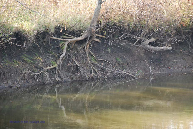
Then, we walked a bit further to a bridge that arched over the confluence of Mill Creek with the Des Plaines River, which flows in from the north and receives surface run-off from a mosaic of suburban development that is buffered to some extent by the riparian zone of the Lake County Forest Preserve. There we could observe the confluence as well as take water samples directly from the Des Plaines. We worked at streamside in small groups to analyze the samples using the Hach Surface Waters chemistry lab as well as the portable Urban Waters LaMotte kit. You can view a summary of our results here: Water Quality Results for DPRWDP 29 Oct 2011 (pdf).
Images of our trip were captured by Mary Beth Radeck, a SUST major at RU and member of our 220 Water class. See this slideshow for a whole lot more.