Many of the writing and research assignments I give my students at RU are fairly straightforward and prescriptive. I give them a lot of concrete guidelines and freedom to choose a topic; they crank out the work; and then I grade it and give it back with feedback. That’s how it works for the most part in academia.
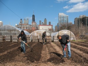
But the past two springs I’ve had the privilege of teaching a service-learning course held on-site at the Chicago Lights Urban Farm, at the south end of the Cabrini-Green neighborhood on Chicago’s Near North Side — and that class is anything but ordinary.
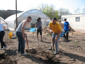
SUST 350 Service & Sustainability has been supported these last two years by a “transformational service learning” grant from Roosevelt’s Mansfield Institute of Social Justice and Transformation, funding which has enabled my students and me to support the farm’s mission, purchase supplies for construction projects, and take area youth on educational field trips within and beyond Chicago.
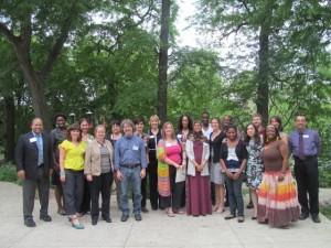
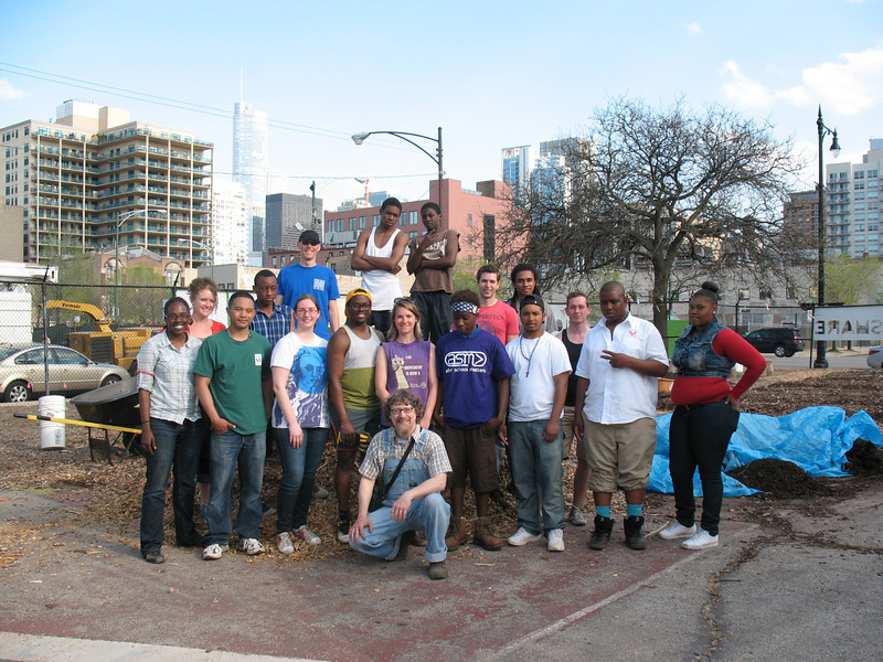
This spring semester, in addition to their weekly work on the farm watering plants, building compost bins, turning over soil, constructing greenhouse grow tables, etc., my 15 undergrad students were tasked with a collaborative “Action Research” project, in which they’d work in pairs or trios to develop real-world projects meant to extend and enhance the mission and work of this extraordinary half-acre urban farm.
Having never led quite such a research project before, I wasn’t exactly sure how to instruct them in this process — consequently, I just didn’t have the procedure or the finished project all scripted out like I usually do. Instead, I offered some rough guidelines (see project guidelines here [pdf]), moral and logistical support (likewise provided by the farm’s director, Natasha Holbert), and a lot of room for creativity.
Boy, did I learn something. Give motivated, smart, and engaged students a chance to do creative applied research for a place that they respect and appreciate, and they are capable of doing terrific work. (Note to self: do this again.) Here’s what they came up with. All of these Action Research Projects are designed to be implemented, expanded, and/or revised by the Farm staff and workers — and some may be taken up and extended by future SUST 350 students here at Roosevelt.
Community Empowerment and Youth Enrichment (CEYE) Program
Allison Breeding, Scott Rogers, and Troy Withers
The CEYE Program is comprised of three branches—Community Service, Food Access and Engagement, and Roosevelt Credit—which collectively aim to benefit the lives and futures of Chicago Lights Urban Farm (CLUF) volunteers, at-risk urban youths, and Cabrini seniors. CEYE seeks to take teens out of a path of trouble and into a path of service, volunteerism, and eventually college and career. The program also seeks to empower and assist local seniors by improving their food access and strengthening their community connections. (CEYE Proposal pdf)
Community Gardeners’ Guide
Jordan Ewbank, Kristen Johnson, and Ana Molledo
A practical how-to resource for people wishing to start their own community garden, based on the knowledge and practices of the CLUF community garden, established in 2002. Discusses land preparation, garden organization and design, raised beds vs. in-ground gardening, soil quality, compost, and what kinds of vegetables to grow. (Gardeners’ Guide pdf)
Farm Education Lessons and Activities
Bob Basile, Christian Cameron, and Molly Connor
Educational lessons and activities for K through Grade 6 students on composting, planting, and nutrition meant to be used at the CLUF to connect urban farm education with sustainability. May be expanded by future students for 7-12 grade levels on these and additional topics. (Farm Curriculum pdf)
Knowing Your Neighborhood: Community Assets Brochure and Map
Mike Miller and Ken Schmidt
Brochure (pdf)and interactive Google map designed to highlight resources and assets with a one-mile radius of the Chicago Lights Urban Farm.
Rainwater Harvesting Plan
Michael Magdongon and Lore Mmutle
A concrete proposal for the installation of a rainwater harvesting system on one of the Farm’s hoop houses. Would provide a sustainable supply of water to decrease dependence upon usage of the street hydrant on Chicago Ave., now the Farm’s main water source. Projected return on investment within one year.
(Rainwater Proposal pdf)
Self-Guided Tour and Farm Map
Bryan McAlister and Lauren Winkler
This beautifully designed one-page, double-sided guided tour information sheet and map is ideal for first-time visitors to the Farm who would like a brief and fun introduction to all of the spaces and growing areas within its half-acre footprint. Includes information of selected vegetables and several recipes for cooking them.
(Guided Tour and Map Brochure pdf)

