Last Saturday was the first field trip opportunity of the summer for my PLS 392 Seminar in Humanities class at Roosevelt, the focus of which is “Representing the Urban Landscape.” After last summer’s trip to Canal Origins and Stearns Quarry Parks on Chicago’s Southwest Side, I decided to choose two different urban areas to explore — but sticking with the theme of how water and the land interact through time and space.
We convened first at the Chicago Portage National Historic Site in Lyons, IL (on Harlem Ave just north of the Stevenson/I-55 expressway) for a guided tour run by the Friends of the Chicago Portage volunteer organization. Our two-hour walking tour through this historic site within the Cook County Forest Preserve was led by local historian Jeff Carter, a longtime member of the Friends of the Chicago Portage volunteer organization. FCP runs tours, produces educational documents and videos, organizes clean-up days for the preserve, and advocates for the creation of an interpretative center that could enhance the educational and public outreach value of the site.
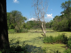
As it is, though, the Chicago Portage — sometimes referred to as Chicago’s Plymouth Rock because of its incredible historical significance to the city’s and state’s geography, cultural history, and economic development — is a wonderful out-of-the-way place to visit. Its woods, meadows, ponds, and creeks not only harbor a rich array of wildlife, but serve as a space-and-time capsule of the days of the late 17th century, when European explorers such as Jacques Marquette, Louis Jolliet, and René Robert Cavalier, Sieur De La Salle walked and canoed the area with the help of Native American guides.
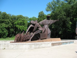
After an extremely pleasant picnic lunch at the foot of the remarkable Marquette and Joliet sculpture at this Cook County Forest Preserve site (one of only two Nat’l Historic Sites in IL), we headed up Interstate 55, into Chicago proper, to Growing Power’s Iron Street Farm — at 7 acres one of the biggest among the many urban farms operating within Chicago’s city limits.
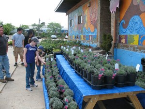
Located in a former truck depot / distribution center at Iron and 34th Streets in Chicago’s Bridgeport neighborhood, the Iron Street farm represents a 21st century adaptive and sustainable re-use of a post-industrial 20th century urban site. As such, it’s both an actual and symbolic transformation of the land — not to mention an aesthetically (as well as ecologically) significant improvement of the area.

Iron Street Farm has a Chicago River connection, too. It’s located right on the west bank of Bubbly Creek, the infamously polluted yet still fascinating industrial tributary of the South Branch of the Chicago River.
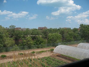
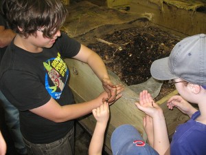
So not only does the rooftop of Iron Street’s building provide a good view of Bubbly Creek, but also any rain that falls on the farm property is retained there, on-site, for use in growing plants and accelerating the decomposition of compost piles — rather than entering the stormwater sewer system and contributing to the combined sewage overflows that still plague the Chicago waterway system.
Both of these sites within the urban landscape — the Chicago Portage and Iron Street Farm — are connected by the history and present status of Chicago’s waterways; and both are intimately linked to how we can re-imagine and redevelop the city’s natural resources for the benefit of water quality, wildlife, and our own human experience.
For more pictures of this field trip, see these Chicago Portage and Iron Street Farm annotated photo albums.